From the ridgetops to the valleys, and back again
Quote on the experience
– Rider X
The Rail Yards to Ghost Towns route slices through the heart of the Lost Sierra region, starting and ending in the historic rail town of Truckee, California. Along the way, you’ll experience the vast expanses of the Sierra Valley, rugged vistas from the Sierra Buttes, historic mining towns, good food, a hot spring and two backwoods breweries. The route makes its midpoint turn in the historic town of Johnsville, a veritable ghost town with a population of about 20 and some interesting history, to boot.
This tour can be done in three to four days at a reasonable pace with about 5,500 feet of elevation gain per day.
 From downtown Truckee, you’ll follow mixed terrain out of town, skirting on singletrack alongside several reservoirs to the outskirts of the Signal Peak area. If you have the time, a route diversion up to the Signal Peak Lookout is definitely worth the trip. The route then drops into the southernmost reach of the Sierra Valley—the largest alpine valley in California—with commanding views of Lemon Canyon. For resupply, there is a well-stocked gas station market in Sierraville and don’t forget to grab two burritos at Los Dos Hermanos (one for now and one for later … you’re welcome). Or check out Smithneck Farms Café or The Farmhouse. Dispersed camping is available outside Sierraville along various arms of Bonta Creek.
 The next day, you’ll climb up and across the Yuba Pass region, with more vistas and stillness to help shut out your legs as they scream while you’re pedaling over to Mills Peak. The payoff is a ripping descent directly into Graeagle for a cheeseburger and shake before you turn toward Johnsville and the climb up to the Sierra Buttes. If you’ve got some time in Graeagle (or even if you don’t), hit The Brewing Lair and Ronin Brewery—both offer great beer, food trucks and often, live music.
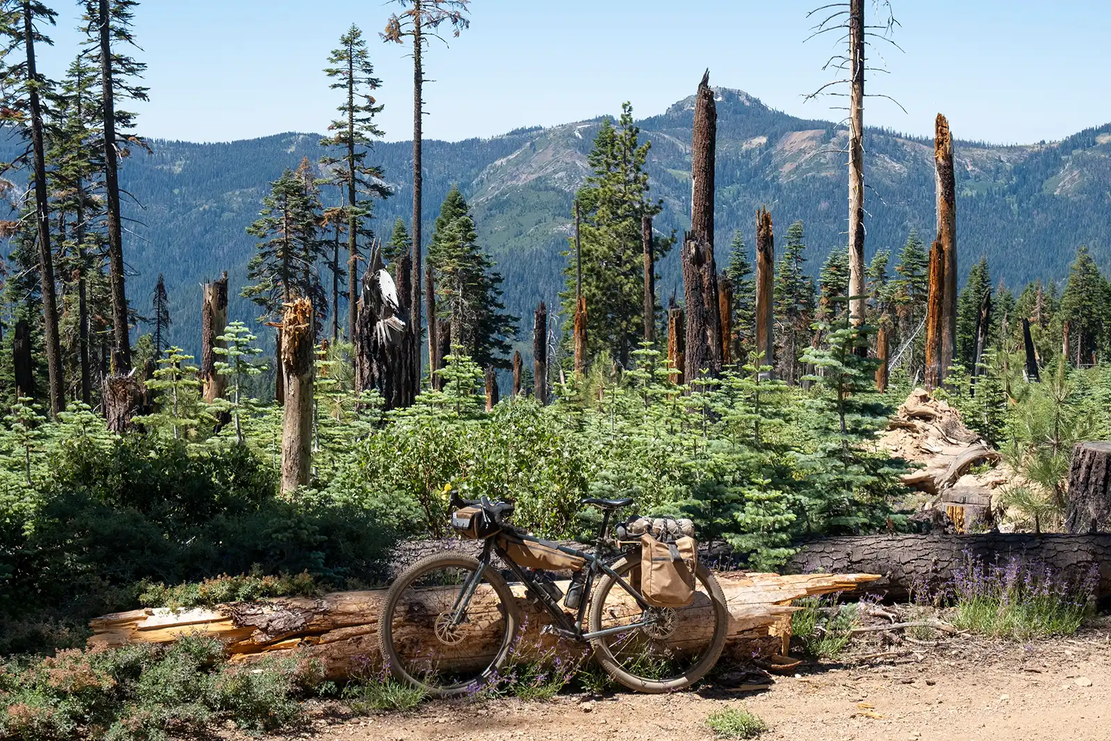
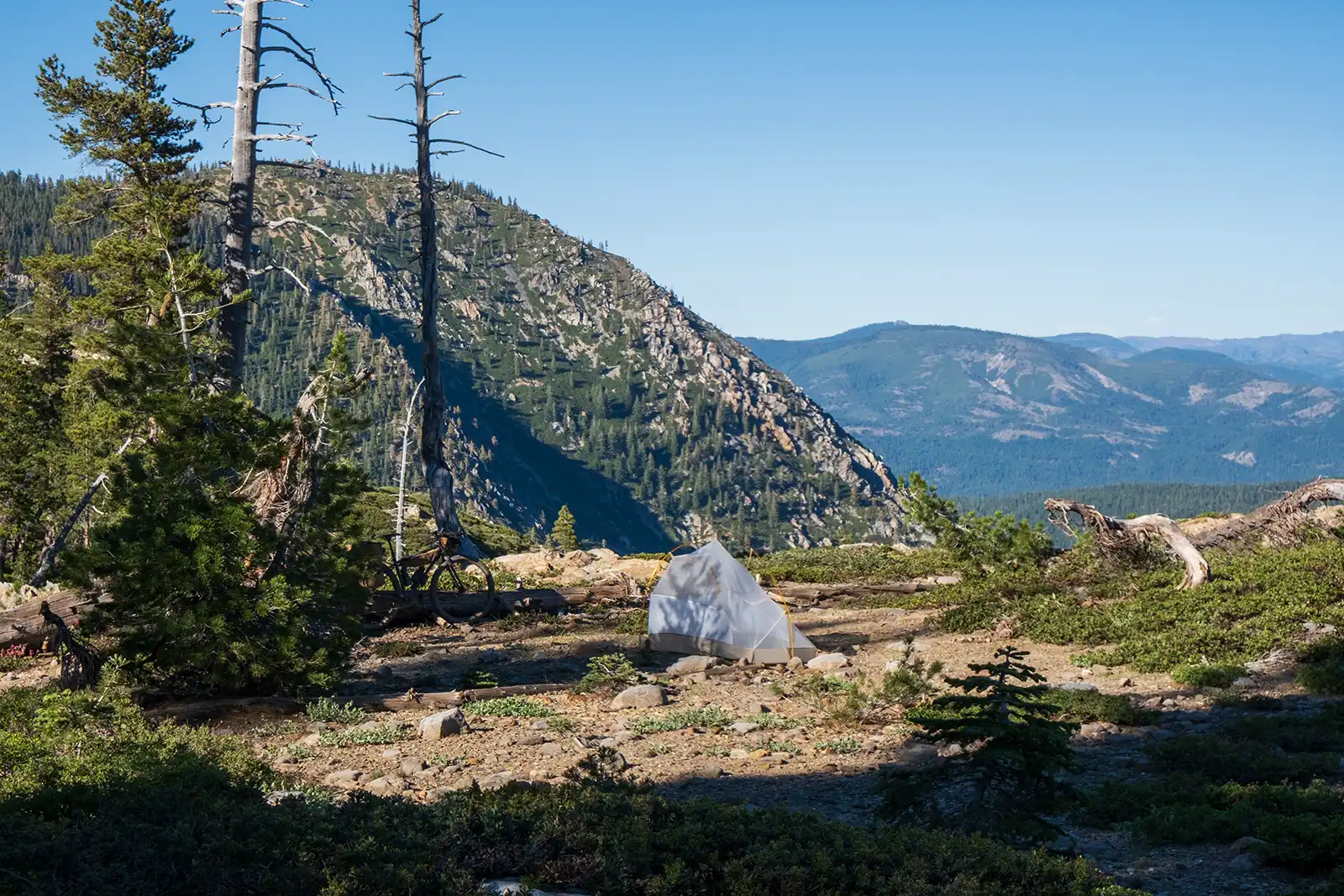
The hardest part about Graeagle is leaving with a full belly and facing the climb up to Plumas Eureka State Park, located in the ghost town of Johnsville, which was established in the 1800s over the promise of mineral riches. There are plenty of camping options along the way to and through Johnsville as the route climbs LaPort Road. If you can, hold off for more dispersed camping higher up the road, where waterfalls and swimming holes abound.
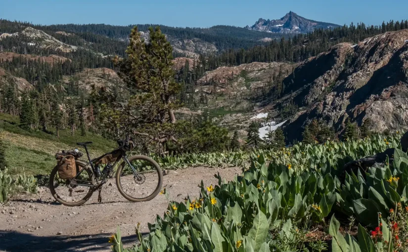
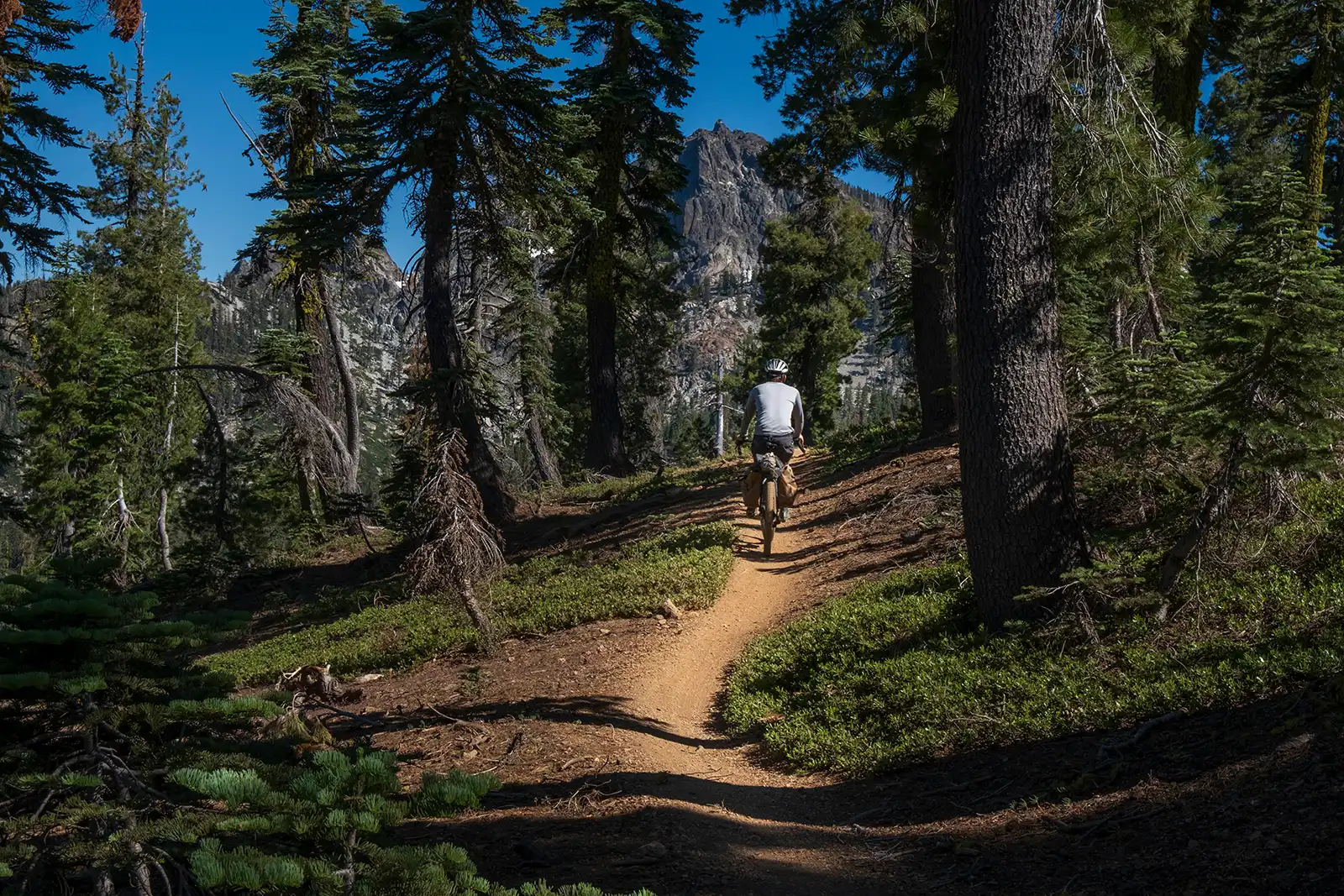
The next day, you’ll climb up to the top of the Lavezzola trail, where a permanent spring flows year-round for bottle refills. Avoid the PCT and take the fire road across the ridge, ultimately connecting to Oakland Pond Trail. This rugged trail will test you but it’s not long and soon you’ll be pushing your bike up a short hoof to meet up with the Gold Valley Rim Trail, one of the shining gems of the Buttes zone. This trail used to be part of the PCT, but was rerouted in 2017 so that other users could experience the absolutely breathtaking views both east and west.
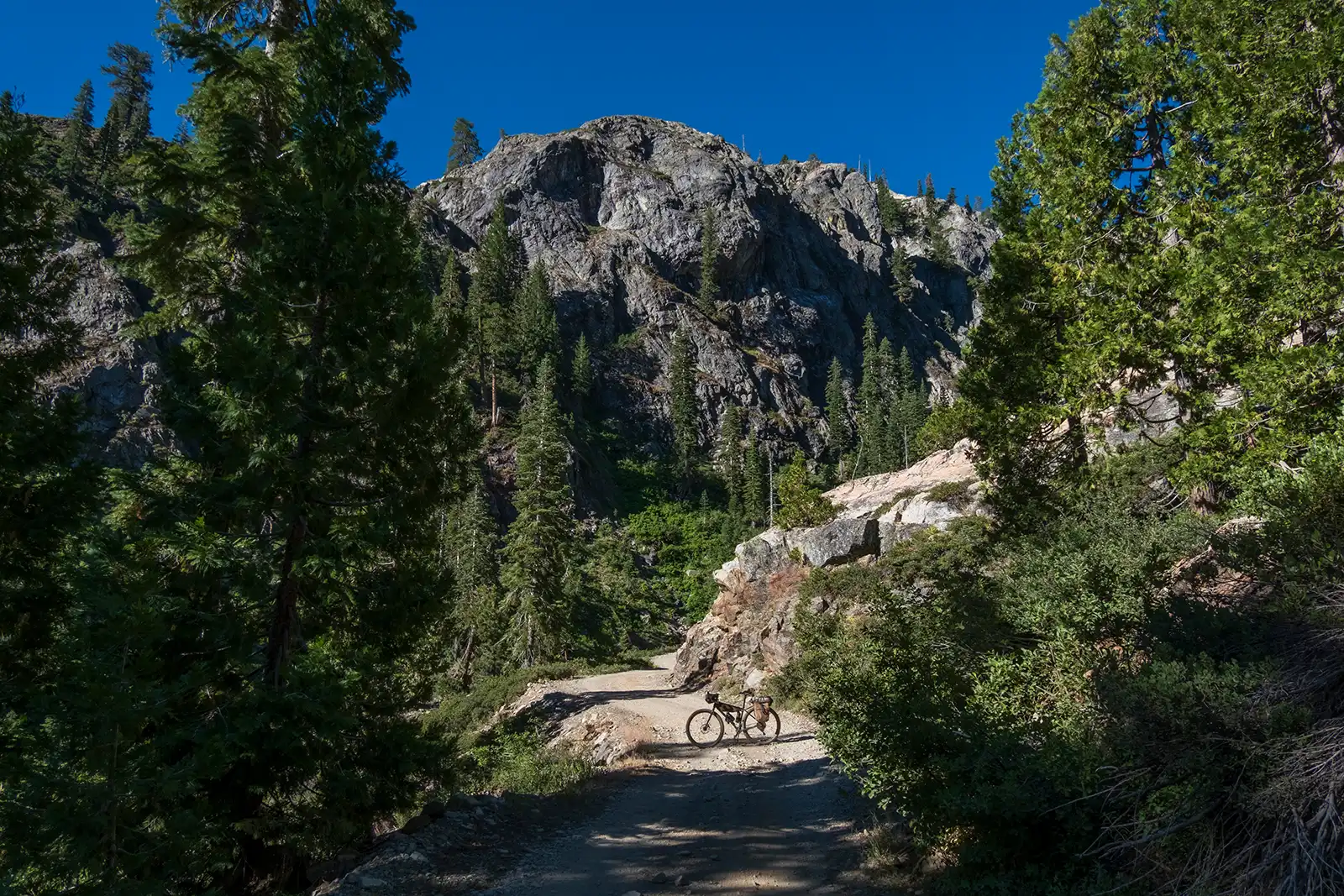
 If you’re checking fire lookouts off your list, you’ll pass a chance to climb to the Sierra Buttes lookout (and the truly ambitious can trudge another 180 steps to the top), before you descend into the Yuba River canyon. Don’t look now, but it’s DOWN THERE. In Sierra City, you might find food at a few restaurants and a small market but don’t rely on it exclusively because this small town enjoys the freedom of varied hours of business.
 From there, head out and up toward Weber Lake. Some camping can be found in this area along the streams and flats. Wild Plum Campground offers a nice spot and there are a few random spots along Haypress Creek also. Weber Lake has a campground and water. Water can be found in several spots as you take the fire roads back toward Truckee.
Various Truckee parking options exist. Options for taking the Amtrak with a bike from Reno or Sacramento area exist also, making this trek even more carbon and car free.
Ride Stats:
Starts and ends in Truckee CA
165 Miles
3-4 Days
17,000 Elevation Gain
25 % Paved* 75 % unpaved
99% Rideable (You’re going to walk something – We all do)
Physical difficulty 6
Technical difficulty 4
June – late Sept depending on snow
Packer Saddle is the highest point at 7,350 feet with an option to ride up to the lookout at ~ 8,200 feet.
Highlights: Spacing out on forest meadows and big views. Gold Valley Rim trail awesomeness, hot springs in Sierraville, secret swimming holes, fresh beer and strategic resupply points.
Be Prepared for: Skeeters, a little chunk, all manner of weather, giggles, shits and happy camping. The climbs are not extreme, but there are a few areas where you’ll want to walk the bike up and down. The sections are short and manageable.
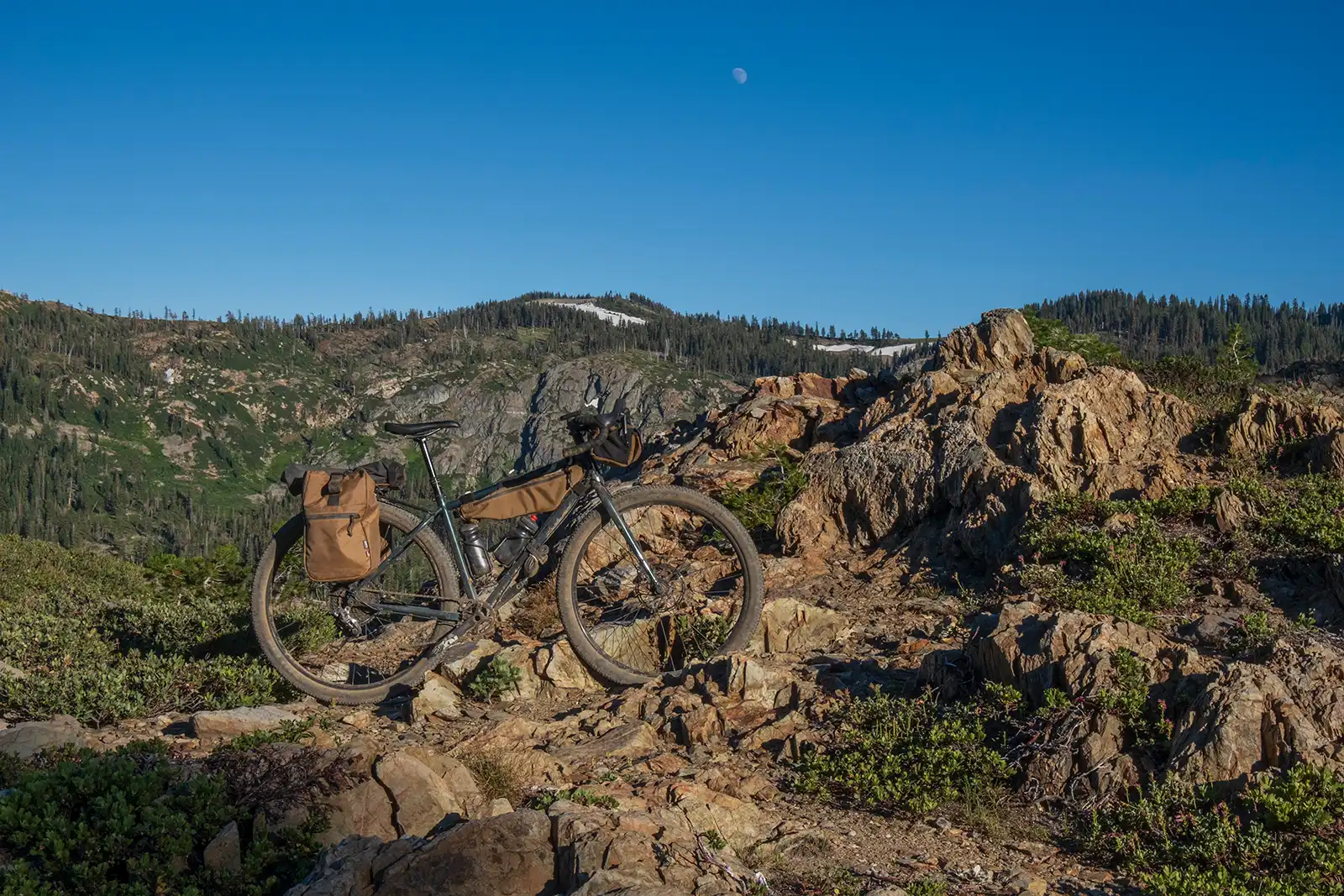
Recommended Bike setup and surfaces:
While you can do this tour on a drop bar gravel bike, I’d recommend nothing smaller than 2-inch tires, and a hardtail mountain bike with at least a dropper post would be better for those rough patches across the Buttes. Our party all rode steel hardtails but one could certainly go slightly lighter for most of the route. Many of the roads are U.S. Forest Service doubletrack and most are well-maintained. The rough stuff comes up once you get up to the various trails along the crest of the Buttes, and after that section, you’re clear of challenging trails. There are only a few pavement sections … revel in them. They are for relaxing.